Phone: +88 02 55087611-4 Email: iwm@iwmbd.org webmail Sign In
logo

Irrigation, Groundwater & Wetland Management (IGW)

We provide modern solutions for Irrigation, Groundwater & Wetland Management

About IGW Division


Irrigation, Groundwater & Wetland Management Division

We deliver innovative water management solutions that empower organizations and projects at every stage of their development. Our services modernize the planning, implementation, management, operation, and monitoring of water resources by leveraging advanced hydrogeological investigations, aquifer mapping, surface water-groundwater interaction modeling, and wetland ecosystem management. Utilizing state-of-the-art tools such as MIKE SHE, MODFLOW, FEEFLOW and GIS, we create integrated and sustainable strategies for efficient irrigation, groundwater resource management, and the restoration and protection of vital wetlands. Our solutions ensure the long-term sustainability and resilience of water resources and ecosystems.

AboutUsImg

Services of Irrigation, Groundwater & Wetland Management (IGW)

The main services of this Division are:

1. Irrigation System Management

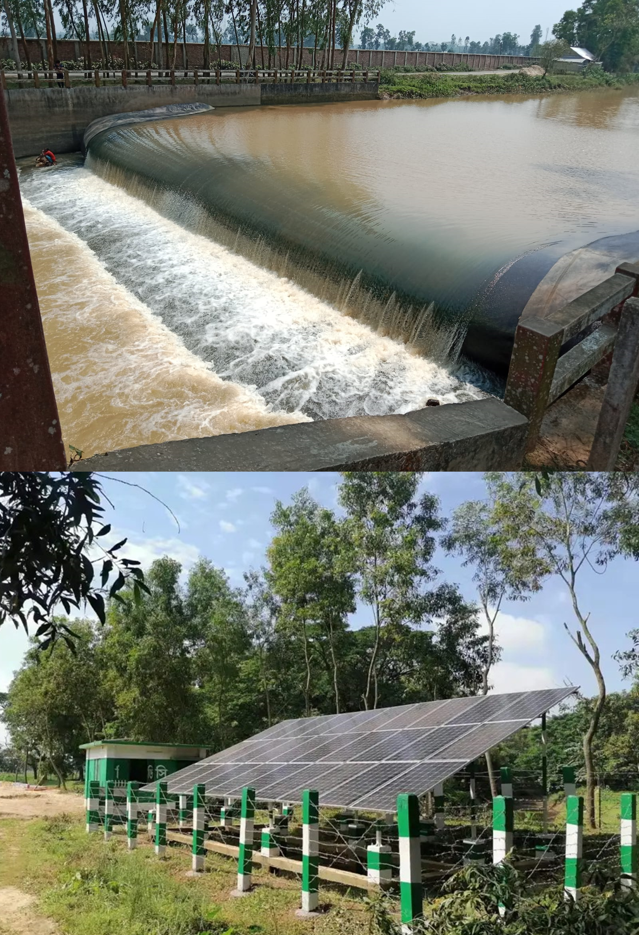
With substantial experience in Command Area Development (CAD), we deliver tailored solutions that enhance the operational efficiency of irrigation systems. Using advanced Interactive Information Systems (IIS), Management Information Systems (MIS), and Decision Support Systems (DSS), we ensure precise estimation of water demand and strategic water allocation. These tools optimize the performance of irrigation schemes at both field and basin-wide levels​. Our Web-GIS applications and mobile apps provide user-friendly platforms for real-time data collection, geospatial analysis, and decision-making in the field. These tools empower stakeholders with comprehensive, up-to-date insights to drive efficient irrigation management, groundwater monitoring, and wetland conservation efforts.

ServiceImage

2. Groundwater Resource Assessment, Monitoring and Management

Monitoring: Continuous monitoring of groundwater levels is vital for understanding seasonal variations and the long-term sustainability of water resources. Our groundwater management services include real-time monitoring and data analysis to track water levels, quality, and recharge rates. By integrating IoT sensors, cloud-based platforms, and automated data processing, we provide actionable insights for sustainable groundwater use, ensuring long-term resource availability.

Identification of recharge and discharge areas within aquifers: We provide expert services in identifying recharge and discharge areas within aquifers as part of our Managed Aquifer Recharge (MAR) solutions. By mapping these critical zones, we help optimize groundwater management strategies, ensuring sustainable water supply for irrigation, supporting wetland conservation, and enhancing groundwater recharge. Our services enable effective decision-making for resource allocation, environmental protection, and long-term water security.

Aquifer Vulnerability: Our groundwater vulnerability mapping services are designed to identify areas at risk of contamination and depletion. By assessing the susceptibility of aquifers to pollutants and other threats, we develop targeted protection strategies that safeguard water quality and availability. These maps are essential tools for planning sustainable irrigation practices, protecting wetlands, and ensuring the resilience of groundwater resources. Our approach helps in preserving the integrity of vital water sources and supports informed decision-making for long-term environmental stewardship.

Stress Area Identification and Safe Yield: We offer specialized services in identifying groundwater stress areas and determining the safe yield of aquifers. By analyzing regions where groundwater extraction exceeds natural recharge, we pinpoint areas at risk of overuse and potential depletion. Our safe yield assessments ensure that water withdrawal remains within sustainable limits, balancing the needs of irrigation, wetland conservation, and long-term groundwater availability. These services are critical for maintaining ecological health, preventing resource exhaustion, and supporting sustainable water management practice.

GW Zoning: Our groundwater zoning services involve the strategic division of aquifers into management zones based on their characteristics, usage, and vulnerability. This zoning approach allows for tailored management practices that align with the specific needs and capacities of different areas, optimizing water use for irrigation, protecting wetlands, and ensuring sustainable groundwater resources. By implementing groundwater zoning, we help stakeholders make informed decisions that balance development with conservation, ensuring the long-term health and availability of this vital resource.

Dewatering Design and Impact Analysis: We provide expert dewatering design and impact analysis services to manage groundwater levels for construction, agriculture, and wetland restoration projects. Our tailored dewatering designs ensure effective water removal while minimizing environmental disruption. Additionally, our impact analysis evaluates the potential effects on surrounding ecosystems and groundwater resources, helping to mitigate risks and ensure compliance with environmental regulations. These services are crucial for safeguarding water quality, protecting wetland habitats, and maintaining sustainable groundwater management practices.

Prediction of Future Groundwater Levels for Different Scenarios: Our services include the prediction of future groundwater levels under various scenarios to support proactive water management. By using advanced modeling techniques, we simulate the impacts of factors such as climate change, land use, and water extraction on groundwater levels. These predictions help stakeholders plan for sustainable irrigation, wetland conservation, and groundwater resource management. With scenario-based forecasts, we provide insights that enable informed decision-making, ensuring the long-term availability and resilience of groundwater resources

Surface Water–Groundwater Interaction Modeling
We specialize in understanding and simulating the dynamic interactions between surface water and groundwater. This holistic approach is crucial for accurate water resource assessments, as it considers the interconnected behavior of land and water ecosystems. Our expertise includes the use of physically-based distributed modeling systems, which provide a more realistic and integrated perspective compared to traditional methods.


ServiceImage

3. Hydrogeological Investigations

We perform in-depth analyses of sedimentary rock formations, focusing on the Holocene-Pleistocene eras, to understand groundwater flow, recharge patterns, and aquifer characteristics. This ensures accurate identification and mapping of aquifers, which is critical for effective water well design and groundwater resource management.

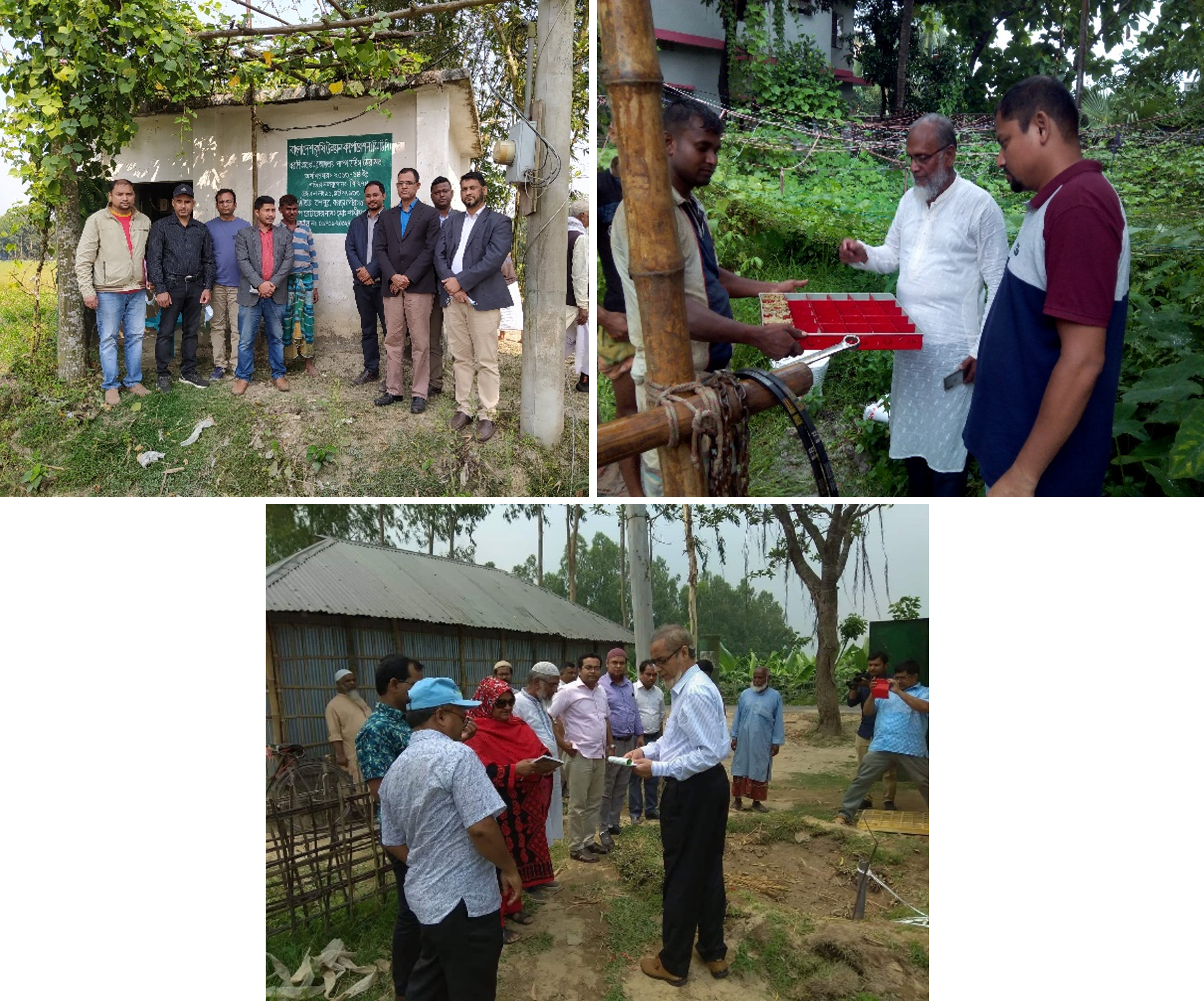
  1. Exploratory Drilling and Sediment Sampling: Our team conducts exploratory drilling up to 600 meters deep, particularly in challenging regions like the High Barind of Bangladesh. We also collect and analyze sediment samples to assess the geological conditions that influence groundwater availability and quality.
  2. Geophysical Surveys and Borehole Logging: By employing geophysical surveys and detailed borehole logging, we create precise models of subsurface conditions. This data is crucial for understanding aquifer geometry and the distribution of groundwater resources.
  3. Aquifer Testing and Hydrogeochemical Studies: We conduct aquifer tests, slug tests, and to evaluate the capacity and sustainability of aquifers. Additionally, we perform hydrogeochemical studies to assess aquifer resource quality. These tests provide essential data for developing sustainable water extraction and irrigation strategies.

ServiceImage

4. GW Salinity Assessment and Management

For the management of groundwater resources more effectively, ensuring sustainable use and reducing the risks associated with salinity, the following services are provided:
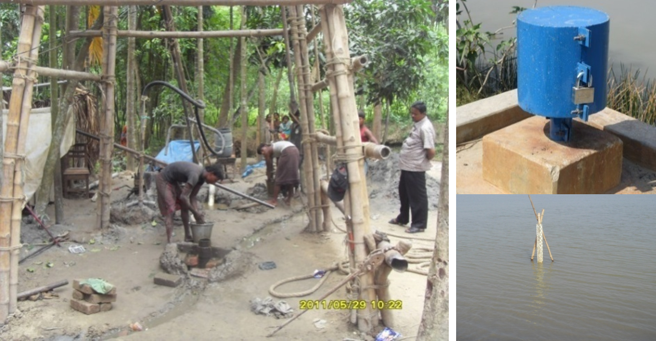
  • Using advanced models to simulate and predict salinity levels in groundwater. This helps in understanding how salinity levels might change over time and under different conditions.
  • Evaluating the impact of various factors such as land use, climate change, and water management practices on groundwater salinity.
  • Assessing the potential impacts of salinity on water resources, agriculture, and infrastructure.
  • Developing strategies for managing and mitigating salinity issues, including recommendations for remediation and management practices.
  • Providing expert advice on salinity management, including policy recommendations, best practices, and technical guidance.
  • Offering training sessions and workshops on salinity modeling, groundwater management, and related topics.

ServiceImage

5. Wetland and Ecosystem Management

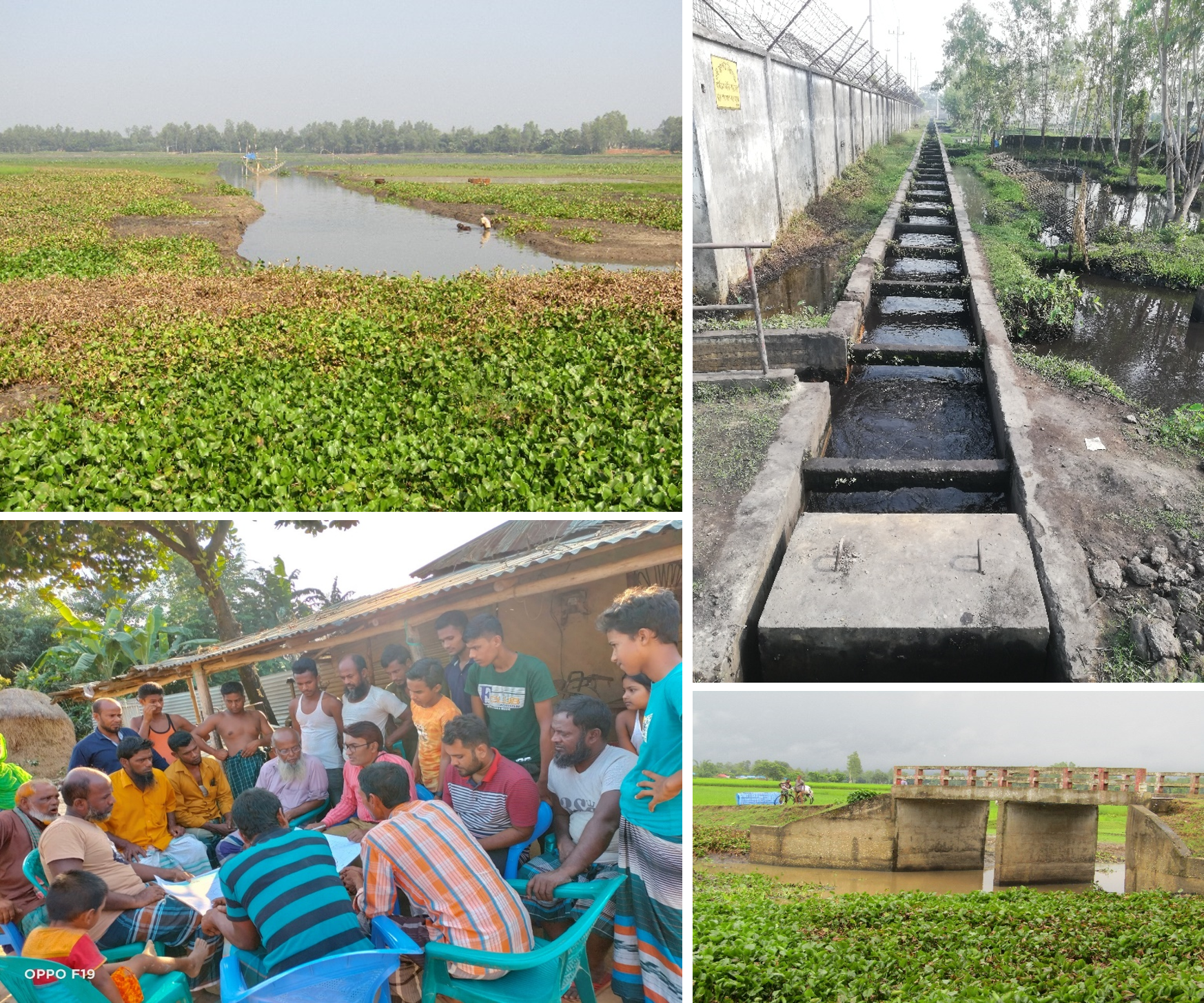
We focus on the systematic restoration of degraded wetlands, ensuring their ecological health and sustainability. We adopt an integrated approach to manage wetlands and their surrounding ecosystems, considering the social, economic, and environmental aspects to ensure holistic development.
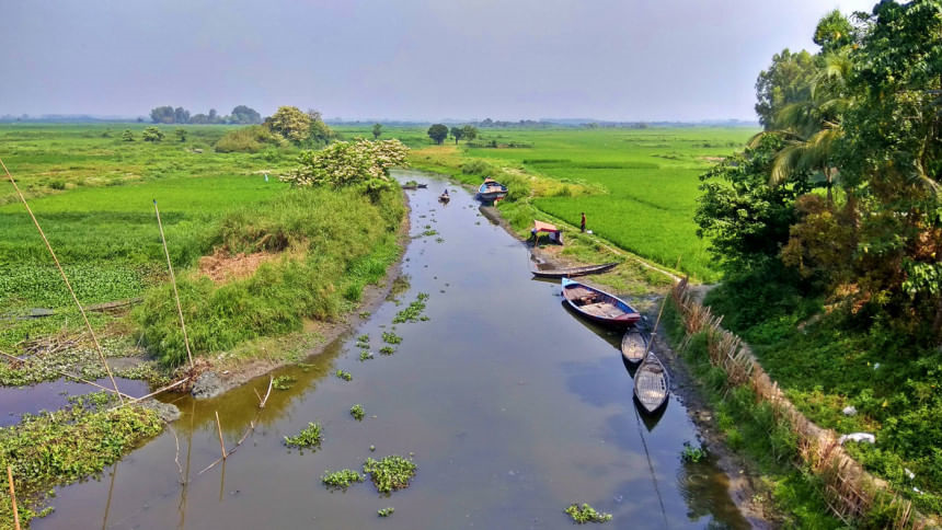
  1. Wetland Restoration and Protection
  2. Delineation, classification and Inventory of Wetlands
  3. Valuation and Vulnerability Assessment of Wetlands
  4. Delineation of Ecosystem Boundary
  5. Wetland Management Framework and Best Management Practice
  6. Comprehensive Ecosystem Management

ServiceImage

Milestone Projects of Irrigation, Groundwater & Wetland Management (IGW)

Our Milestone Projects


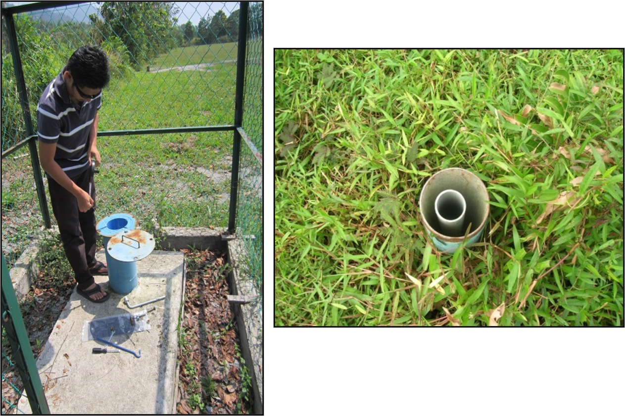
1. Study on Groundwater Resources for Selangor Water Management Authority, Malaysia

In collaboration with Jurutera Perunding Zaaba Sdn Bhd (JPZ), IWM has conducted a comprehensive study on the groundwater resources in Selangor State, Malaysia. This project aims to evaluate the availability of groundwater in terms of both quantity and quality, ensuring that these resources can be developed sustainably to meet the state's future water needs.

  • Objectives:
    • Groundwater Availability Assessment: Analyze the current state of groundwater resources, including quantity and quality, using advanced MIKE SHE and MIKE 11 modeling systems.
    • Recharge Estimation: Estimate potential groundwater recharge rates and assess the interaction between surface water and groundwater.
    • Aquifer Vulnerability Mapping: Develop an aquifer vulnerability map using the DRASTIC method to identify areas at risk and guide sustainable management practices.

Key Findings:

  • Current Groundwater Usage: In 2008, the extraction of fresh groundwater in Selangor was approximately 10.8 billion liters, representing about 1% of the total annual potable water usage of 1,400 billion liters.
  • Future Targets: LUAS aims to increase groundwater's contribution to the state’s potable water supply to 35%. However, systematic basin studies for groundwater sustainability have been lacking.

This study addresses the urgent need for detailed basin studies to support LUAS’s goal and ensure the sustainable management of groundwater resources in Selangor.
ProjectImage

2. National Water Balance Management (NAWABS) for Muda Basin, Malaysia

In collaboration with the Jabatan Pengairan dan Saliran (JPS), our division spearheaded the National Water Balance Management (NAWABS) project for the Sungai Muda Basin, a critical water source for the Rice Bowl of Malaysia. This ambitious project aimed to develop a comprehensive Water Balance Model System with central integrated control to enhance water resource management across several key economic sectors including agriculture, industry, and tourism.

Objectives:

  • Conduct a detailed water balance study and other relevant assessments for the Muda Basin.
  • Design and implement a state-of-the-art water balance model coupled with a Decision Management Support System (DMSS).
  • Develop additional components to support the management and planning of water resources effectively.

The NAWABS project was set to provide a robust framework for managing water resources with greater efficiency, thereby supporting the economic and environmental sustainability of the region.
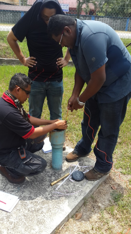

3. Study on Interaction between Haor and River Ecosystem including Development of Wetland Inventory and Sustainable Wetland Management Framework

Our division lead a comprehensive project to develop a national wetland management framework, focusing on the interaction between Haor and river ecosystems. This project aimed to create an inventory of wetlands and assess best practices for their management.

Objectives:

  • Ecosystem Interaction Study: Examine the interactions between Haor wetlands and river ecosystems to understand their ecological dynamics and dependencies.
  • Wetland Typology Mapping: Identify and map the different types of wetlands across various hydrological regions of Bangladesh, providing a detailed and structured inventory.
  • Framework Development: Develop a structured framework for planning and designing a wetland inventory in accordance with Ramsar guidelines, ensuring comprehensive and sustainable wetland management.
  • Ecological Baseline Inventory: Create a baseline inventory of wetlands that includes ecological characteristics, biodiversity, and historical background to support effective management and conservation efforts.

Key Outcomes:

  • Detailed Wetland Inventory: A comprehensive inventory and detailed mapping of wetlands, providing critical data for management and conservation.
  • Structured Management Framework: A national wetland management framework that aligns with international Ramsar guidelines and supports sustainable wetland practices.
  • Baseline Ecological Data: A thorough baseline assessment of wetland ecosystems, including biodiversity and historical context, to inform management strategies and conservation efforts.

ProjectImage

4. Study on Aquifer Mapping and Groundwater Resource Assessment for Management of Eco-friendly Sustainable Agricultural Development in Bangladesh

Our division lead a pivotal project aimed at mapping and zoning aquifers and assessing groundwater resources to support sustainable agricultural development. This comprehensive study was focused on understanding groundwater regimes, recharge patterns, and resource availability to aid effective management in drought-prone and water-scarce areas.

  • Main Objective:
    • Aquifer Mapping and Assessment: To map and zone aquifers, assess their characteristics, and evaluate groundwater resources using advanced modeling and scientific methods. This project aims to provide valuable insights for planners and decision-makers to manage groundwater sustainably.
  • Specific Objectives
    • Aquifer Identification: Identify aquifer types based on groundwater development zones using primary and secondary data sources. 
    • Extent Analysis: Determine the areal and vertical extent of aquifers, using fence diagrams and stratigraphic views of geological formations. 
    • Regime Classification: Classify the homogeneity of groundwater regimes within aquifers. 
    • Aquifer Zone Differentiation: Differentiate various aquifer zones within the study regions. 
    • Formation Characteristics: Evaluate aquifer formation characteristics, including hydraulic conductivity, transmissibility, storage coefficient, specific yield, and storage volume under both steady and non-steady state conditions. 
    • Well Performance: Identify drawdown parameters and assess well performance using step draw-down tests to determine specific capacity and efficiency. 
    • Development Parameters: Identify zones of influence, drawdown, pumping water levels, and safe distances for well installation in classified aquifer zones. 
    • Regime Analysis: Understand the groundwater regime in the northwest area, quantifying groundwater availability and flow patterns during irrigation and non-irrigation seasons.
    • Resource Quantification: Quantify groundwater availability, flow patterns, recharge processes, safe yield, and mining under various physical and environmental constraints. 
    • Management Plans: Formulate aquifer management plans for sustainable groundwater development. 
    • Development Plans: Prepare groundwater development and management plans based on resource availability.
    • Geological Studies: Determine aquifer types, sizes, extents, and positions using geological and hydro-geological studies. 
    • Numerical Modeling: Demarcate principal aquifers in 2D to assess resources using numerical models such as MODFLOW or MIKE SHE. 
    • Vulnerability Assessment: Assess aquifer vulnerability based on water quality and mining activities. 
    • Database Development: Design and develop an IIS database and geometric maps for groundwater management. 
    • 3-D Visualization: Prepare 3D visualizations and GIS maps of aquifer systems in different groundwater development zones. 
    • Irrigation Zoning: Develop zoning maps for various modes of groundwater irrigation development.

Key Outcomes:

  • Comprehensive Aquifer Maps: Detailed mapping and zoning of aquifers, including their characteristics and spatial distribution.
  • Enhanced Groundwater Management: Informed groundwater management plans and strategies based on extensive resource assessment.
  • Sustainable Development: Recommendations for sustainable groundwater use and management to support eco-friendly agricultural development.

ProjectImage

5. Modelling support to Feasibility Study for North Kurigram Irrigation Project

Irrigation management requires advanced approaches in estimation of demand of irrigation water and analysis of water allocation strategies at field scale, for entire irrigation schemes or in a basin wise perspective. IWM has gathered a sound knowledge for developing Interactive Information System (IIS) or Management Information System (MIS) and Decision Support System (DSS) for improved operation of irrigation system and command area development. IWM works for the following services:

  • An analysis of the overall effect of irrigation schemes on the water balance
  • Optimization of irrigation schemes, reduction of conveyance and seepage losses
  • Canal and structure analysis
  • Analysis and optimization of structure operations
  • Water shortage and irrigation management
  • Irrigation, drainage and water logging
  • Zoning map suitable for different mode of irrigation equipments
  • Pesticides and nutrients in drainwater and groundwater recharge
  • Effects of irrigation management on crop yields

ProjectImage

6. Sustaining groundwater irrigation for food security in the northwest region of Bangladesh

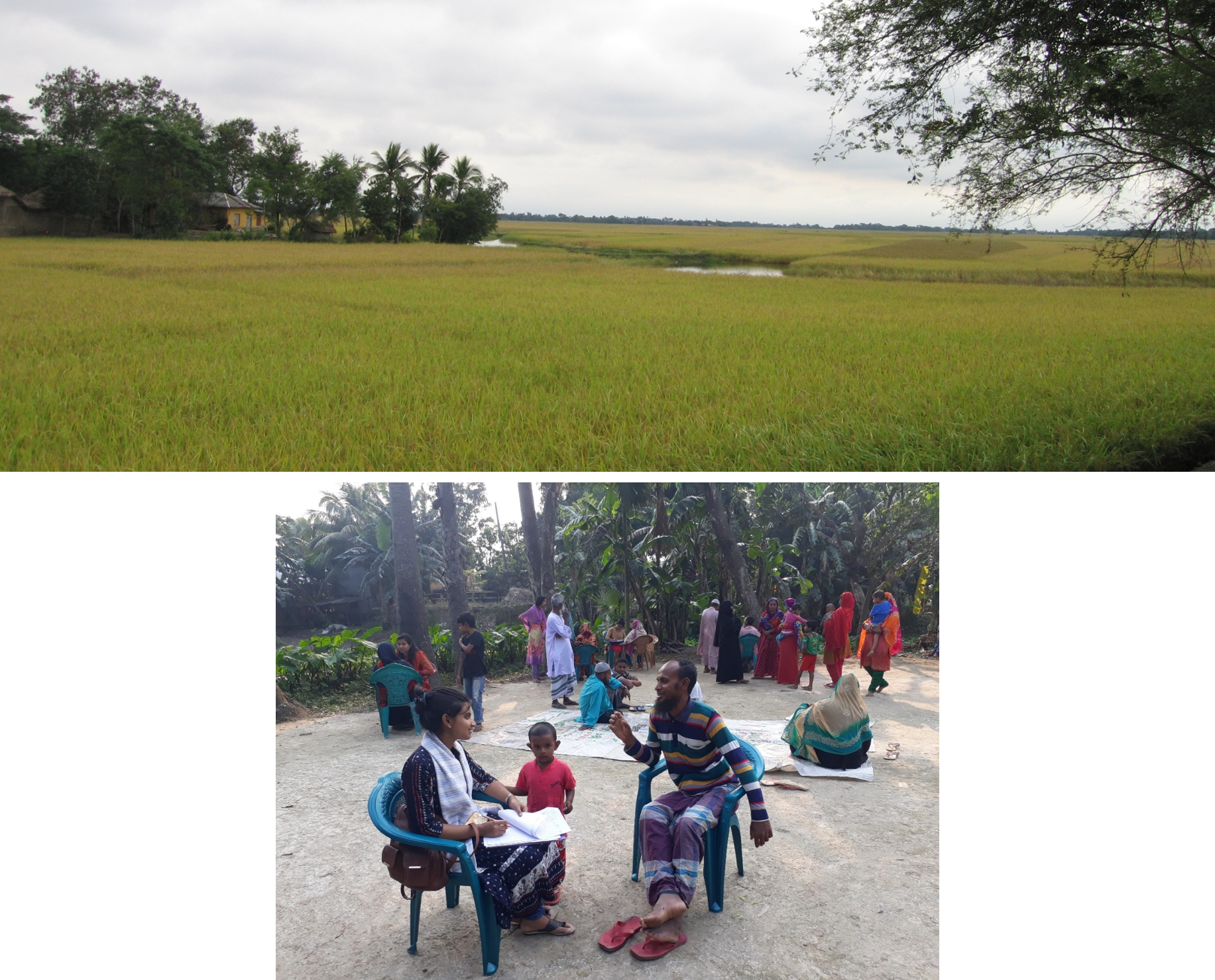
This project aims to enhance groundwater irrigation practices to ensure food security in the northwest region of Bangladesh. By integrating groundwater modeling with water balance and surface water studies, the project focuses on developing practical tools for managing groundwater resources effectively.

Specific Objectives:

  • Model Update and Calibration: Update and calibrate the IWM MIKE SHE models for the northwest region using the latest climate and hydrology data. Perform short-term simulations and predictive analyses of groundwater flow, water levels, and water balance, considering major recharge and discharge components.
  • Numerical Modeling with MODFLOW: Develop a computationally viable numerical model using MODFLOW for the saturated zone. This model will facilitate probabilistic quantification of groundwater storage changes from 1985 to 2016.
  • Predictive Uncertainty Assessment: Account for predictive uncertainty in groundwater level simulations and estimate long-term groundwater balances to investigate trends and sustainability of groundwater use in the northwest districts.
  • Scenario Analysis: Conduct scenario analyses to assess groundwater levels and water balance under potential future climate conditions and management options. This analysis will help understand the reliability and confidence levels of predictions for practical decision-making.

Key Outcomes:

  • Updated Models: Enhanced and calibrated MIKE SHE models providing accurate simulations of groundwater flow and water balance.
  • Numerical Modeling: Development of a MODFLOW-based model for quantifying groundwater storage changes, improving accessibility for practitioners and managers.
  • Uncertainty and Sustainability: Assessment of predictive uncertainties and long-term groundwater sustainability to guide effective management practices.
  • Scenario Insights: Analysis of future scenarios to support informed decision-making regarding groundwater management and climate adaptation.

ProjectImage

7. Joint Action Research on Salt Water Intrusion in Groundwater in the Coastal Area

This project focuses on addressing the challenges of saltwater intrusion in coastal groundwater systems. The research aims to understand the extent of salinity issues and develop effective strategies for mitigating their impact.

  • Specific Objectives:
    • Salinity Extent Assessment: Evaluate the extent of salinity in the study area to understand its current and potential impacts on groundwater resources.
    • Aquifer Vulnerability Assessment: Assess the vulnerability of aquifers to saltwater intrusion and other environmental stresses.
    • Climate Change Impact: Investigate the effects of sea level rise, driven by climate change, on salinity intrusion in coastal aquifers.
    • Freshwater Pocket Identification: Identify and map pockets of freshwater within the affected coastal aquifers to prioritize protection and management efforts.
    • Salinity Distribution Changes: Assess changes in salinity distribution and develop recommendations for human intervention to manage these changes effectively.
    • Water Quality Assessment: Conduct a thorough assessment of water quality to determine the impact of salinity on groundwater suitability for various uses.
    • Climate Resilient Water Supply Options: Explore and recommend climate-resilient water supply options to address challenges posed by saltwater intrusion and climate variability.
    • Human Resources Development: Enhance local capacity and expertise through training and development programs focused on managing saltwater intrusion and groundwater resources.
  • Key Outcomes:
    • Detailed Salinity Maps: Comprehensive maps showing the extent and distribution of salinity in coastal groundwater systems.
    • Vulnerability Insights: Understanding of aquifer vulnerability to saltwater intrusion and climate impacts.
    • Freshwater Protection: Identification of key freshwater pockets and strategies for their protection.
    • Water Quality Reports: Detailed analysis of water quality impacts and recommendations for improvement.
    • Resilient Solutions: Development of strategies and options for climate-resilient water supply systems.
    • Capacity Building: Strengthened local expertise and management capabilities through targeted training programs.

ProjectImage

CORE TEAM: IGW Division

Our Core Team

Core Team Photo

Goutam Chandra Mridha

Director IGW Division

Email: gcm@iwmbd.org

Mobile: 01759-516922, 01841-930013

Md. Hazrat Ali

Senior Specialist IGW Division

Email: hza@iwmbd.org

Mobile:

Mohammad Salah Uddin

Senior Specialist IGW Division

Email: msu@iwmbd.org

Mobile:

Md. Monirul Islam

Senior Specialist IGW Division

Email: mni@iwmbd.org

Mobile:

S.M. Sahabuddin

Associate Specialist IGW Division

Email: ssn@iwmbd.org

Mobile:

Md. Atiqur Rahman

Associate Specialist IGW Division

Email: atq@iwmbd.org

Mobile: +8801810107158, +8801716049123

Md. Saidur Rahman

Junior Specialist IGW Division

Email: sdh@iwmbd.org

Mobile:

Kamrul Islam

Associate Hydrogeologist IGW Division

Email: klm@iwmbd.org

Mobile: +8801817011787, +8801847189324

Abdul Hannan Imran

Junior Specialist IGW Division

Email: han@iwmbd.org

Mobile: 01911712553

Moonmoon Biswas

Junior Engineer IGW Division

Email: mbi@iwmbd.org

Mobile: 01763329661

Biva Farzana

Junior Engineer IGW Division

Email: bva@iwmbd.org

Mobile: 01624907721

Rafsan Al-Amin

Junior Engineer IGW Division

Email: raa@iwmbd.org

Mobile: 01780173269

S M Shahriar Sifat

Junior Engineer IGW Division

Email: sft@iwmbd.org

Mobile: 01753858379

Sumit Kumar Saha

Junior Engineer IGW Division

Email: sks@iwmbd.org

Mobile: 01784896660